As part of Protest’s comprehensive approach toward geotechnical investigations, geophysical seismic surveys can be undertaken to provide a more informed and well-rounded geotechnical investigation. Seismic surveys are offered in the form of Multichannel Analysis of surface Waves (MASW), reflection seismic and refraction seismic. Seismic surveys are advantageous in geotechnical engineering and investigations as they provide continuous subsurface profiling of materials quickly, economically, at locations otherwise inaccessible to vehicles, all while being non-destructive.
Seismic Investigations
Our specialised geophysical team are then able to collaborate with the geotechnical engineering team to provide valuable information such as:
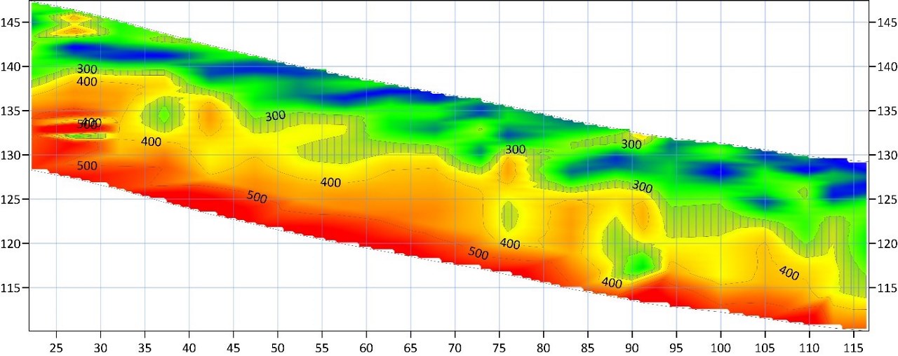
- Continuous profiling revealing layers and materials that may not have been discovered via conventional investigation methods;
- Indicated depth to competent materials for foundations;
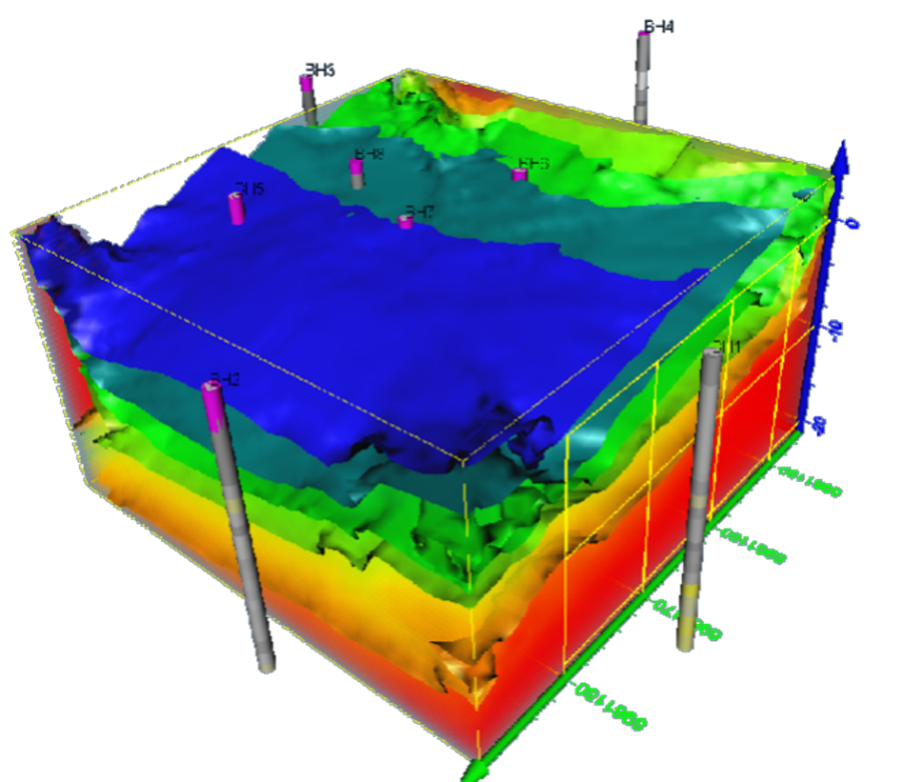
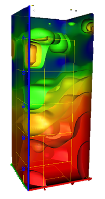
- Three dimensional models showing how proposed works will interact with the geotechnical model;
- Density changes in subsurface materials;
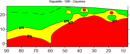
- Rippability and excavatability models when paired with traditional geotechnical boreholes.
The seismic team to date have completed hundreds of seismic surveys ranging from 10 meters all the way up to larger investigations in excess of 50 kilometres. We have been successful in providing seismic surveys for the following projects:
- Detailed excavatability assessment and indicated machinery required at locations over site;
- Estimated blasting volumes in excavations;
- Three dimensional models showing the interactions between excavatability models and the proposed site surface levels;
- Detailed subsurface profiling connecting geotechnical boreholes and the resultant 2D and 3D geological models;
- Detailed subsurface profiling for landslide and global stability analyses;
- Suitable foundational materials for high rise buildings;
- Suitable foundation materials and depth to rock for large retaining wall alignments;
- Detailed subsurface profiling and estimated materials along road and rail alignments;
- Location of geological features such as faults and dykes for mining studies;
- Location of subsurface landfill and mining shafts for settlement studies.


